I finally had to measure.
From its first version filed March 31, 2017 to the current version filed October 29, 2021, Trans Mountain’s expansion project watercrossing inventory has said that Browne Creek is “Seasonal off-channel rearing/wintering habitat for juvenile CO and potentially SSU; connectivity to Hopedale Slough (approx. 500 m DS), although watercourse may be dry or intermittent during summer months”.
I was pretty sure that from the Trans Mountain crossing to where Browne Creek flows into Hopedale Slough is less than 500 metres. A lot less. But it’s damn near impassible between those points.
Today, April 2, 2022, while thinking more about what to say to the Canada Energy Regulator that might result in some protection for Browne Creek and the floodplain area it flows through, that “500 m DS” bit finally crossed some mental tipping point. I finally had to measure.
Did I mention it’s damn near impassible? Measuring with Dad’s hip chain (thanks Dad!) took about an hour per hundred metres. The result?
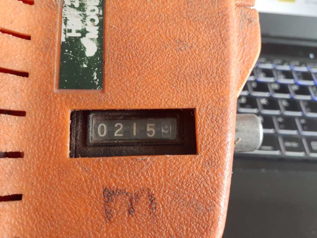
Why does it matter?
It matters because;
- Salish sucker are a threatened species under the Species At Risk Act (SARA);
- Hopedale Slough is identified critical habitat in the federal Recovery Strategy for the Salish Sucker (Catostomus sp. cf. catostomus) in Canada;
- Browne Creek certainly won’t be dry or intermittent during the summer months when Trans Mountain plan to cross it;
- they want to take an excavator in there and dig a trench right across Browne Creek a couple metres deep and wide enough to put a 36 inch oil pipeline in;
- they’ll take out numerous large, mature trees from the riparian area of Browne Creek to do it. Trees that will never grow back because it will be a pipeline right-of-way, and;
- there are ponds under those trees that drain into Browne Creek.
It’s notable that Salish sucker are SARA listed and not ‘just’ listed under the Committee on the Status of Endangered Wildlife in Canada (COSEWIC). Species get recommended by scientists under COSEWIC. From there the decision whether to list them under SARA is up to politicians, and politicians seem to be exceedingly reluctant to list species under SARA. To do so can have economic repercussions when a SARA listed species gets between an excavator or a chainsaw and money. So for Salish Sucker to be SARA listed means they (or rather the people working to protect them) somehow beat the politics.
Salish sucker have been found to keep to fairly small home ranges. 500 metres like Trans Mountain’s watercrossing inventory says, they probably don’t go up that far if we consider the home range to start at Hopedale Slough. 215 metres like I measured today, they certainly might.
From the recovery strategy for Salish sucker, “Salish Sucker are among the most sensitive fish species to loss of wooded riparian areas”. There are a variety of reasons riparian areas are important to Salish sucker (and other fish). Among them, shade to keep water temperatures favourable (especially as climate warms), reduced erosion and siltation, habitat for macroinvertebrates that fish feed on, and organic matter for macroinvertebrates to feed on. The trees Trans Mountain plan to remove are the first real riparian growth after upstream parts of Browne Creek flow through agricultural fields with essentially no natural riparian vegetation.
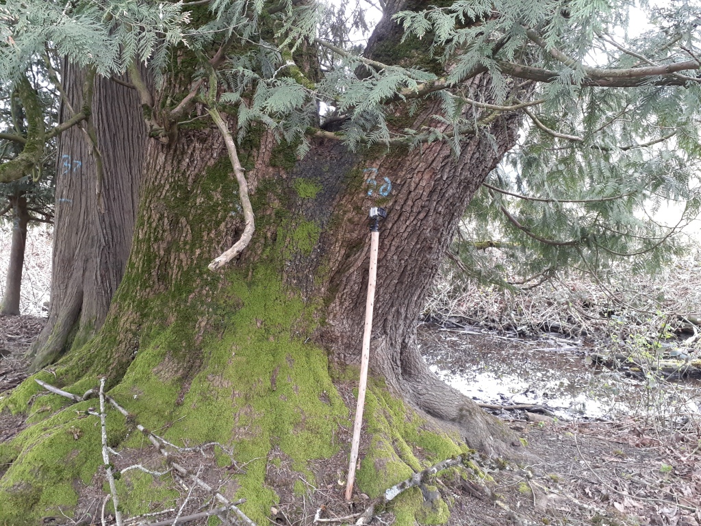
The recovery strategy for Salish sucker identifies seven threats to Salish sucker. Among those seven are;
- hypoxia, low oxygen as happens in water that lacks shade and gets too warm;
- harmful substances, like might be introduced by machinery, and;
- sediment deposition, like might occur when machines are working in and around a stream.
Excessively high turbidity is also a threat to fish, sort of like air pollution to humans. But turbidity in a stream can be a lot more immediately harmful than any air pollution you might typically imagine. Turbidity from the excavation, or any contaminants that might get into Browne Creek, will flow to Hopedale Slough. And Hopedale Slough is a lot closer to the construction site than Trans Mountain’s Condition 43 watercourse crossing inventory says it is.
A few photos from this morning follow.
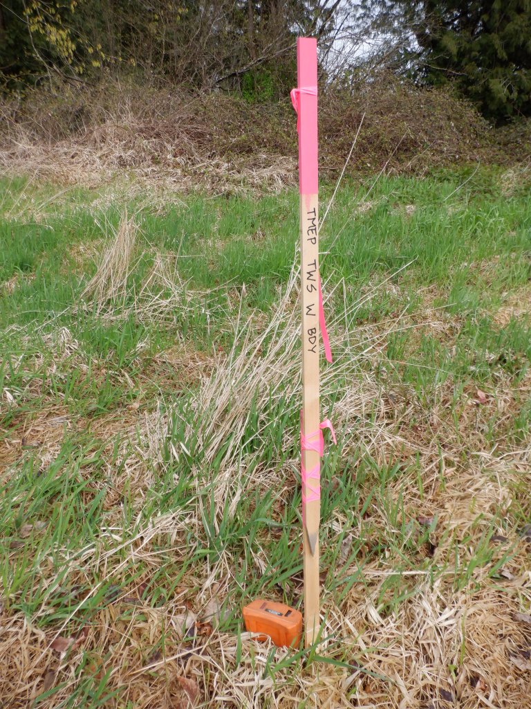
I started at the Trans Mountain right-of-way. They’ve recently marked out the whole area with stakes and flagging and signs. After crossing an old beaver dam to get to the creek’s right side, I zeroed my hipchain at a stake that indicates the west boundary of the Trans Mountain Expansion Project (TMEP) temporary work space.
—
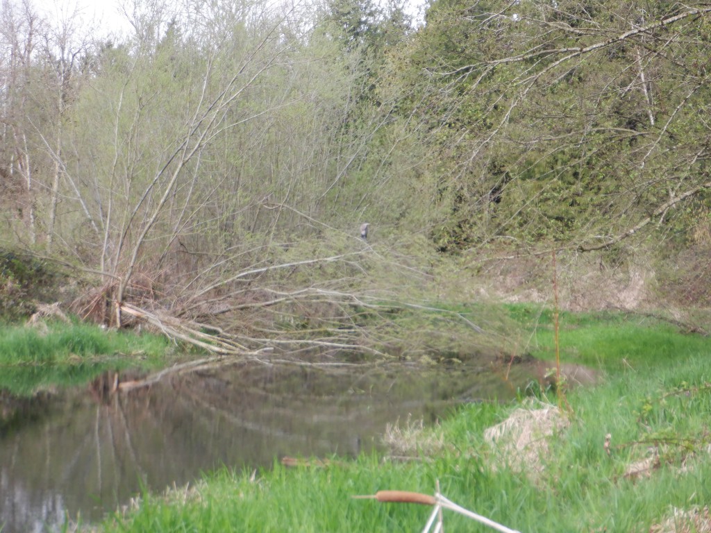
Three Great Blue Herons and a couple of mallards were here, a short distance downstream of the pipeline right-of-way. Saw only this one until they all flew. Sorry the picture is shaky, I was wobbling on poor footing at the time. Later, as I was leaving, there was a heron in a tree upstream of the pipeline too.
—
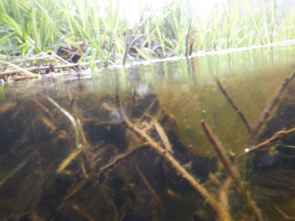
Of course there were salamander egg masses, though I wasn’t taking time to look for them (in fact trying to avoid any places they might be).
—
Much of the way was a struggle around, over and under dense blackberry bushes. At one section I was actually crawling on top of the mass of blackberry canes, spreading my weight between my lower legs (not good for the waders!), the hipchain in one hand, and my walking stick flat in the other, a metre or more above the ground.
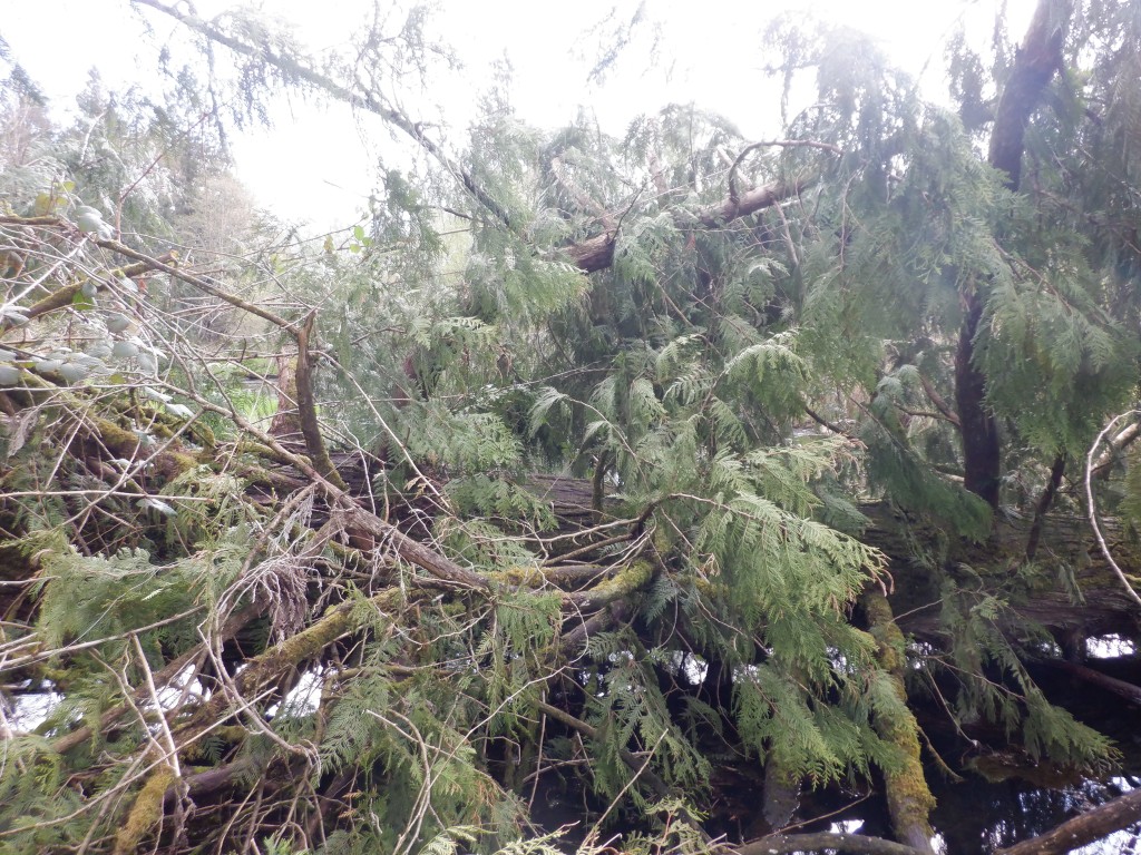
Pictured below is a hella big fallen cedar just after I got past it. I had seen this tree from the other side while doing an amphibian egg mass survey upstream. Knowing it was there was why I didn’t try to do this using my paddleboard today.
—
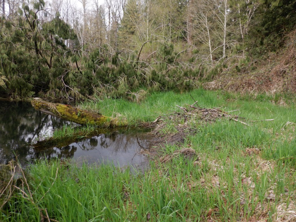
Upstream of that cedar tree there was a beaver lodge on the left bank. Downstream of the cedar was this beaver lodge on the right bank. And past that another fallen cedar to get by.
—
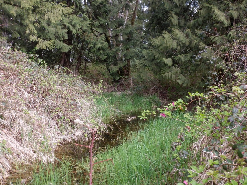
There were lots of signs of beavers everywhere. Besides the old dam upstream and the two lodges, there were chewed branches and trunks all over, little piles of mud on the bank, and places small and large like this picture below. The small ones seem obvious; “Beaver goes in and out of the water here.” There were two like this that looked like a stream coming in from that side but were not. Hard to tell from the photo, but they’re much too wide to jump. You can walk on the buoyancy of the thick grass if you’re careful and not too slow about it. (Might also help that I have size 11 feet.). They’re hip deep in the open channel part. Long time beaver path? I don’t know but it seems likely.
—
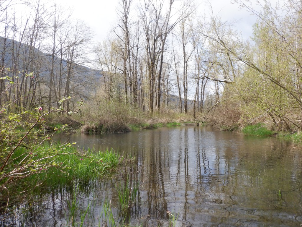
The confluence of Browne Creek and Hopedale Slough, this photo taken while standing at the edge of Hopedale Slough. I didn’t get a picture of Browne Creek here as I was looking puzzled at the beaver box that looks quite distant in this picture. You can see that beaver box from the other direction from Beaver Loop Trail. I’d always thought the beaver box was where Browne Creek came into Hopedale Slough. Actually, Browne Creek is very wide here and comes in from the left of the picture on the other side of that little point of grass. After hiking around to get to the beaver box I found that it’s actually a small stream flowing out of, not into, Hopedale Slough. (And yes, as I wrote this it finally dawned on me that if it had been a place water flowed into Hopedale Slough there wouldn’t be a beaver box.)
—
Finally, a fallen cedar tree where I’m pretty sure I dropped my reading glasses as I crawled under it on the way out. The bottom of the tree has no bark all along where it’s over the shore. I’m guessing the bark is removed up to where a beaver can reach. Gotta remember to get my glasses back next time we’re in the area for an amphibian survey.

—
So. Home now. Showered. Swampy smelling clothes in the washer. Tired legs and lots of scratches including one really painful one where a blackberry thorn got me under a finger nail. But now instead of telling the CER I think Hopedale Slough is a lot closer than Trans Mountain’s 500 m, I can tell them it’s 215 metres and I know because I measured.
If you’re interested in supporting this work, WaterWealth is crowdfunding right now with an emphasis on its climate-focused watershed monitoring program. tinyurl.com/f8avnykt
Explore posts in the same categories: Environment, PoliticsTags: environment, Trans Mountain
You can comment below, or link to this permanent URL from your own site.
5 April 2022 at 09:53
Is calculating distance by GPS an acceptable means of surveying distance? A GPS-enabled drone would be able to either calculate distance as the bird flies (literally), or grab the GPS coordinates from which you could triangulate distance later on. You wouldn’t have gotten as much of an adventure from it, but it would’ve saved you a few thorn injuries.
27 April 2022 at 08:31
For this purpose it would have been good enough if I’d had one, and yes, SO much easier! But some adventure is nice too, even if a bit painful at times.